
The Northeast
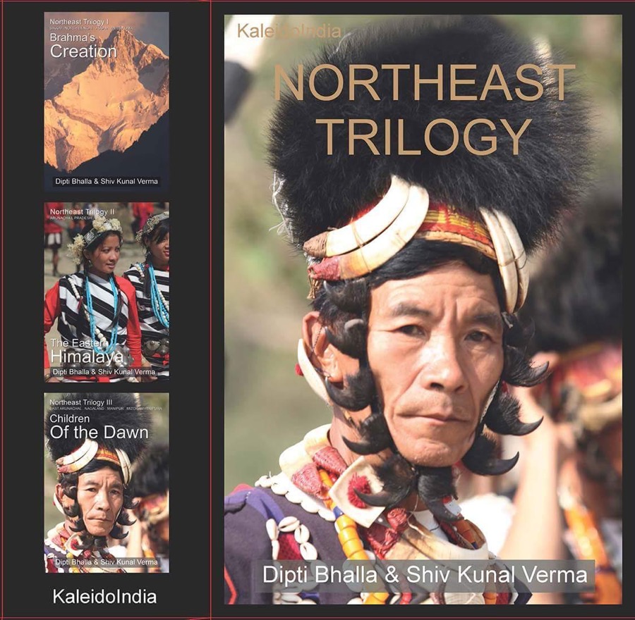
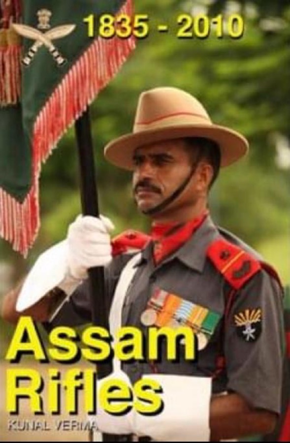
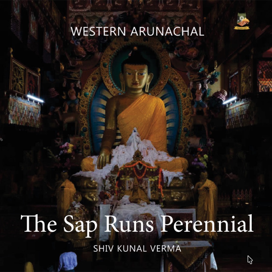
Sikkim, North Bengal, Assam, Meghalaya, Nagaland, Manipur, Tripura and Mizoram: a region that remains, in Shiv Kunal Verma's words, a virtual blank on the map for most Indians. The Northeast Trilogy, Assam Rifles and Life and Culture in Northeast India were built to change that.
See the three Arunachal volumes in full →The works




Questions for discussion
Three questions drawn from this shelf, for secondary-school and college classes. They ask students to reason from the material, not to take a side. Print this page for a one-sheet handout.
- The region covers eight states, yet the intro calls it “a virtual blank on the map for most Indians”. Why might a region this large stay unknown to the rest of the country, and what would have to change for that to end?
- The Northeast Trilogy says people within the Northeast also “know little or nothing about each other”. Compare not knowing a region from outside with neighbours not knowing each other. Which is harder to change, and why?
- Life and Culture in Northeast India was produced for the Indian Army to promote “a better comprehension of the region”. Why might an army serving in a region need to understand its people and culture? What could go wrong if it did not?
https://education.fortressindia.in/region/northeast/
Where the Himalaya meets the Patkai
At the Myanmar Trijunction the McMahon Line ends and India's frontier turns south, down the forested ranges of the Naga Patkai through Nagaland, Manipur and Mizoram. This is the last spread of Shiv Kunal Verma's photo essay along the line, with its field notes.
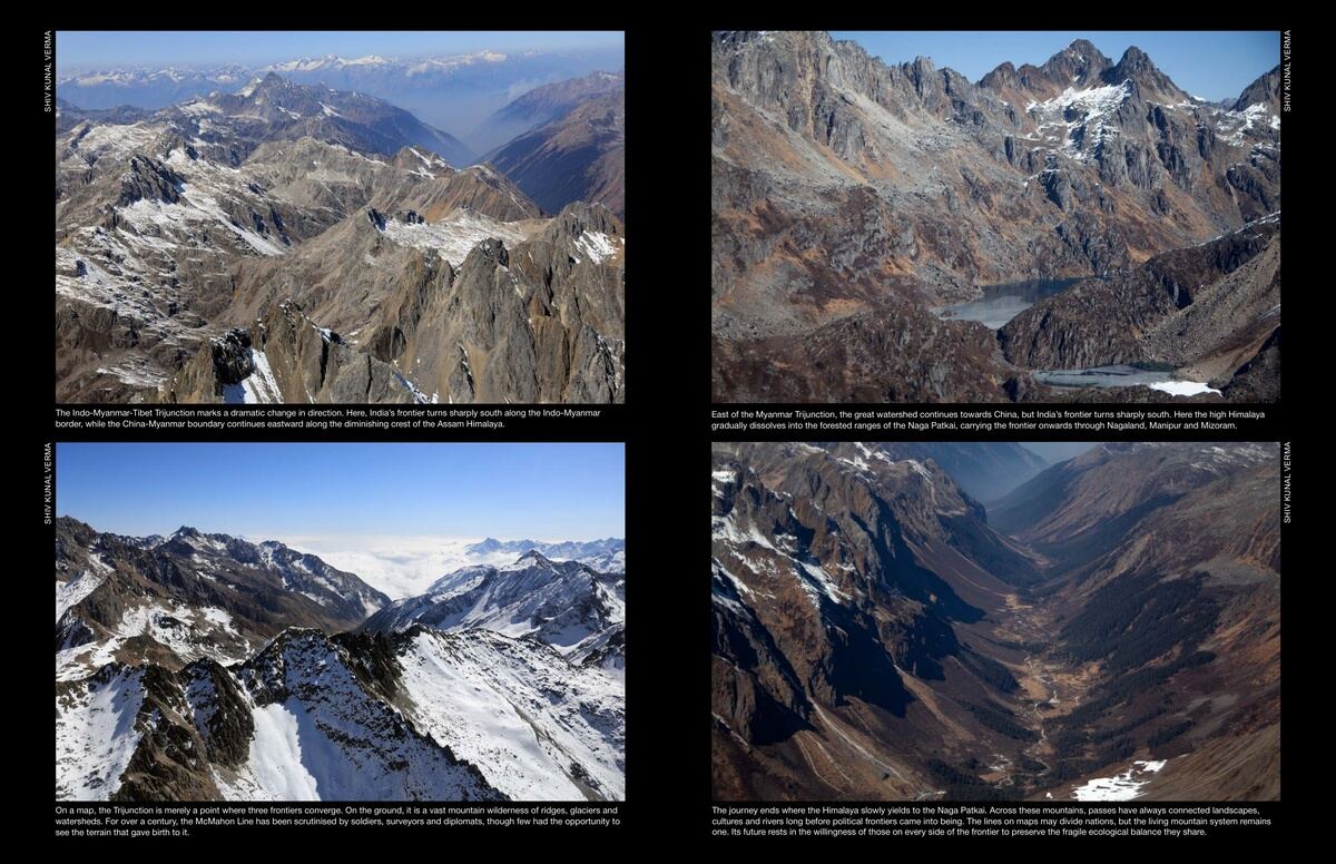
- East of the Myanmar Trijunction, the great watershed continues towards China, but India’s frontier turns sharply south. Here the high Himalaya gradually dissolves into the forested ranges of the Naga Patkai, carrying the frontier onwards through Nagaland, Manipur and Mizoram.
- On a map, the Trijunction is merely a point where three frontiers converge. On the ground, it is a vast mountain wilderness of ridges, glaciers and watersheds. For over a century, the McMahon Line has been scrutinised by soldiers, surveyors and diplomats, though few had the opportunity to see the terrain that gave birth to it.
- The journey ends where the Himalaya slowly yields to the Naga Patkai. Across these mountains, passes have always connected landscapes, cultures and rivers long before political frontiers came into being. The lines on maps may divide nations, but the living mountain system remains one. Its future rests in the willingness of those on every side of the frontier to preserve the fragile ecological balance they share.
- The Indo-Myanmar-Tibet Trijunction marks a dramatic change in direction. Here, India’s frontier turns sharply south along the Indo-Myanmar border, while the China-Myanmar boundary continues eastward along the diminishing crest of the Assam Himalaya.
Captions from the photo essay in Sanctuary Asia’s Fortress India supplement, August 2026. Read the issue